Cloonconra


Cloonconra, Cluain Conaire,[1] “the meadow of Conaire”[2]
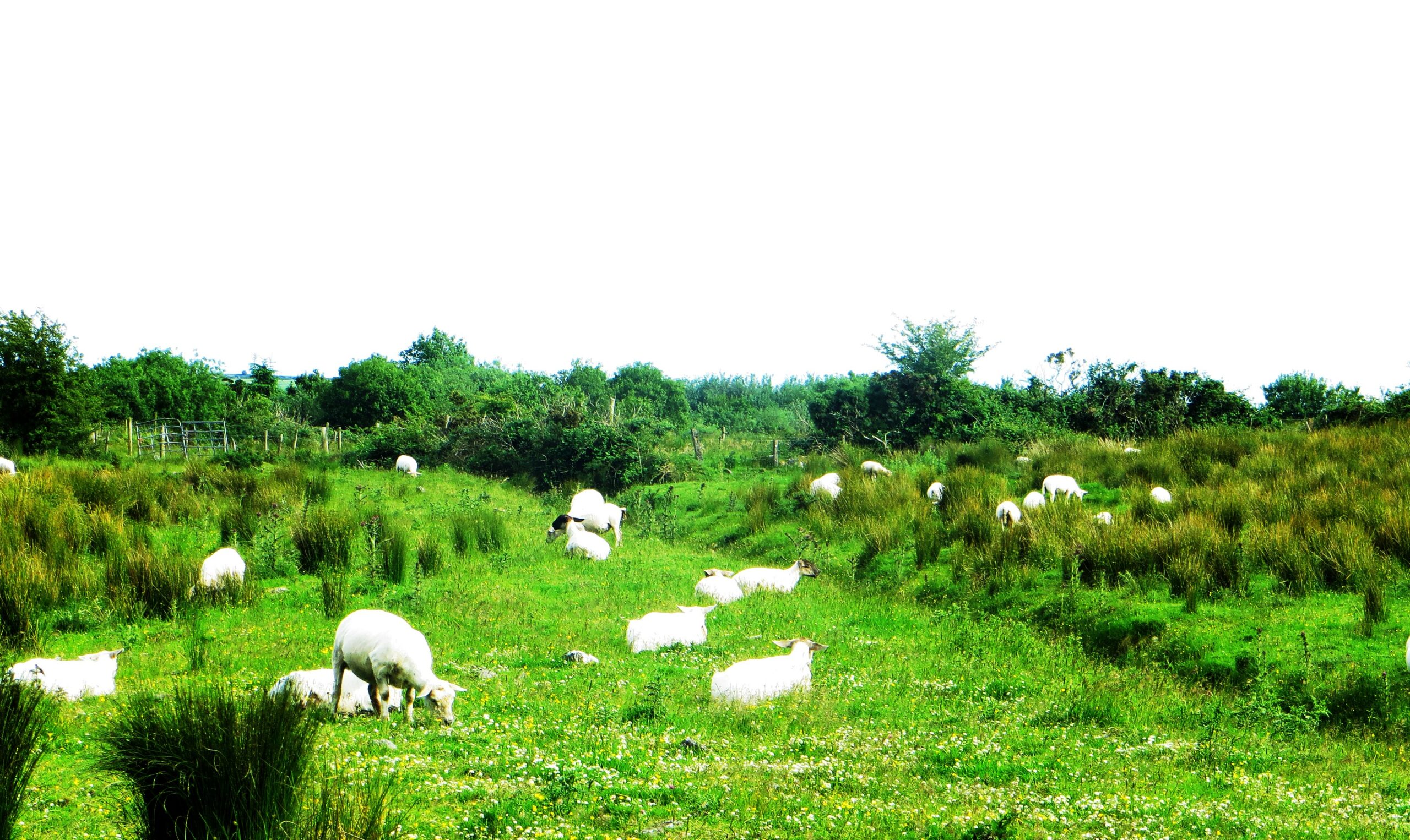
The townland of Cloonconra is situated in the Civil Parish of Killererin in the Barony of Dunmore. The townland is bordered on the north by Ballaghalode in the Parish of Tuam, in the south by Cloonriddia, in the west by Cornacartan and in the east by the townland of Lisnaminaun. The Down Survey, records the townland as ‘Owlter’ in the Parish of ‘Liskewy’, Barony of Dunmore[3]. In Cloonconra in 1641 and 1670 the owner was listed as ‘The Bishop of Tuam’.
O’Donovan’s Field Name Books
According to O’Donovan’s Field Name Books, 1830,[4] early references to ‘Clooncunra’, were found in the Map of Property Surveyed in 1813 and 1814[5], and the Boundary Survey Sketch Maps[6]. This Survey cited the spelling as ‘Clooncunra’ also. Today locally, the townland is spelled ‘Cloonconra’. The townland is described as the property of H.R. Henry, Esquire, England, containing ‘228 ¾ acres statute measure[7] including about 110 acres of bog’[8].
Census 1841-1851[9]
There were 11 people living in 1 house in Cloonconra in 1841. By 1851 this population had decreased to 6 people living in 1 house. The total area of land in the townland in 1851 was 228 acres, 3 roods and 14 perches. The total valuation of the land was £24 0s 0d.
Griffith’s Valuation 1855[10]
Hugh Henry owned all of the land in the townland in 1855. Henry held a herd’s house and land for himself, measuring 228 acres, 3 roods and 14 perches. Henry owned vast areas of land in the parish of Killererin amounting to over 6,000 acres including land in the townlands of Toghermore, Togherbeg, Tigreenaun, Shantallow, Pollbaun, Pollacapple, Omaunmore, Omaunbeg, Lissavalley Glebe, Lissavalley, Lisnaminaun, Kilmore, Killeighter, Grange, Creevaghbaun, Corskeaghmore, Corskeaghbeg, Corralea, Cornacartan, Coolrevagh, Cooldorragha, Cloonreddia, Addergoole, Carrowgorm, Barnaderg and Ballynakilla. This land was valued at £2,061 15s 0d.
Census 1861-1881[11]
There were 6 people living in the townland in 1861 in 1 house. In 1871 there were 15 people living in 3 houses and in 1881 the population was also 15 people living in 2 houses. The total area of land in the townland measured the same as in 1841 with a valuation of £26 10s 0d.
Census 1891[12]
There were 12 people living in 2 houses in Cloonconra in 1891.
Census 1901[13]
There were 8 people living in Cloonconra in 1901.
John Fahy aged 59 was married to Bridget aged 60 and they had 1 son, Edward aged 19.
Margaret Shaughnessy was a widow, aged 60 and had 3 children living with her: a son Thomas, aged 23 and daughters Mary aged 26 and Ellen aged 20. A grandson, Michael Byrne, aged 2 was also listed in this household. There are no further details given about his parents and Margaret’s listed daughters were unmarried. His parents, may like many others, have emigrated to seek work abroad.
All occupants from Co. Galway
All of those listed in Cloonconra recorded their place of birth as ‘Co. Galway’ including Michael Byrne. The Fahy family listed their occupations as ‘farmers’ while Margaret Shaughnessy’ interestingly recorded her occupation as ‘shepherdess’. Margaret’s son, Thomas, recorded his occupation as ‘game keeper’. The oldest person in the townland in 1901 was Margaret Shaughnessy aged 77, a widow and mother-in-law of Margaret Shaughnessy, and the youngest was Edward Fahy who was less than 1 year old.
Census 1911[14]
There were 13 people living in 2 houses in Cloonconra in 1911.
Patrick Fahy, aged 40 lived in a 2nd class house with 3 front windows and with 6 other family members. Patrick had been married to Rose Fahy for 9 years and they had 5 children and 5 still living in 1911: Isabella aged 8, Bridget aged 6, Michael aged 4, Mary aged 2 and Edward who was under 1 year. The Fahy family had a number of out-buildings recorded on the census including a cow-house, stable, fowl-house and barn.
Patrick Canny aged 37 also lived in a 2nd class house with 3 front windows. Patrick was married to Mary aged 40. In 1911, Patrick and Mary had been married for 5 years and had 3 children and 3 still living at that time: Norah May aged 3, John aged 2 and Michael aged 1. Mary’s mother Margaret Shaughnessy also lived with the couple and was mentioned in the earlier 1901 census. In 1911 Margaret was aged 77 though she was listed aged 60 in 1901. The Canny family had only one out-building – a cowhouse.
All those listed in the townland in 1911 recorded their place of birth as ‘Co. Galway’ and both Patrick Fahy and Patrick Canny listed their occupation as ‘farmer’. The oldest person in the townland in 1911 was Margaret Shaughnessy, aged 77. In fact Margaret was the only person listed in 1911 aged over 40. The youngest person in Cloonconra in 1911 was Edward Fahy who was under 1 year.
Census 1991-2006
The adjacent bar graph plots the changes in population in this townland between 1841 and 2006 according to census information[15].
Mapping Change
The Ordnance Survey (OS) maps 1837-1842[16] shows the Grange river running along the northern boundary of the townland. A mill-race ran from the river towards a corn mill in Cornacartan the neighbouring townland in the west. There was a weir along this river boundary too.
A comparison between the 25 inch map 1888-1913 and the Aerial map 2005[17] shows how the landscape and geography of the area have changed. The 1888-1913 map shows the river boundary in the north with stepping stones and a lime kiln just south of the river. A narrow strip of land along the river in the north was liable to flooding.
The Aerial map shows two dwellings and a number of out-buildings and sheds in this townland in 2000. At its population height in 1841 there were 11 people living in just one house. By 2005 an additional out-building was added at one of these dwellings. The land surrounding these homes is green field and in 2000 some was cut for silage or hay. The OS Street map shows that today to the east of these houses, a large area of land had been planted as forestry.
[1] Placenames Database of Ireland (http://www.logainm.ie/)
[2] The Placenames database states that the meaning of ‘Cloonconra’ has yet to be confirmed. However ‘Out and About in Killererin’, 2006 gives the above meaning. ‘According to Oracle Ireland the name can be traced from ‘Clooncurry’ and the ‘shortened Cluain-Conaire [Cloon-Con-ary], F. M., Conary’s meadow’ (www.oracelireland.com) (May 2011)
[3] Trinity College, Dublin, ‘The Down Survey’ (http://downsurvey.tcd.ie/)landowners
[4] Galway County Library O’Donovan’s Field Name Books’ (http://places.galwaylibrary.ie/)
[5] ibid
[6] ibid
[7] PODUNK ‘Place Types and Land Allocation in Ireland’ (http://ei.epodunk.com/place-types.html)(June 2011) An Irish acre, the measure used from the 17th century, equalled 1.62 statute (English) acres, also called a plantation acre
[8] Galway County Library, O’Donovan’s Field Name Books’(http://places.galwaylibrary.ie/)
[9] ‘Table VII –Area, Out-offices and Farm Steadings and Population together with the Valuation of Each Parish, Townland and Township of the County of Galway in 1881’ (James Hardiman Library, National University of Ireland, Galway, p56)
[10] Ask about Ireland, ‘Griffith’s Valuation’ (http://www.askaboutireland.ie/)
[11] ‘Table VII –Area, Out-offices and Farm Steadings and Population together with the Valuation of Each Parish, Townland and Township of the County of Galway in 1881’ (James Hardiman Library, National University of Ireland, Galway, p56)
[12] Census of Ireland for the Year 1911 [Province of Connaught, County of Galway] Area, Houses and Population, ‘Table VII-Area Houses Out-Buildings and Farm Steadings, and Population together with the Valuation of Each Poor Law Union, Dispensary District, Electoral Division, Townland in the County of Galway in 1911’ (Galway County Library, p110)
[13] The National Archives of Ireland, ‘Census of Ireland 1901’ (http://www.census.nationalarchives.ie/)
[14] The National Archives of Ireland, ‘Census of Ireland 1911’ (http://www.census.nationalarchives.ie/)
[15] Kids Zone Learning with NECS ‘Create a Graph’, (http://nces.ed.gov/nceskids/createagraph/)
[16] Ordnance Survey Ireland, ‘25” Historical Map 1888-1913’ (www.osi.ie/pub;icviewer) (May 2011)
[17] ibid
No Comments
Add a comment about this page