
1. Class: Church. SMR no. GA044-065001-
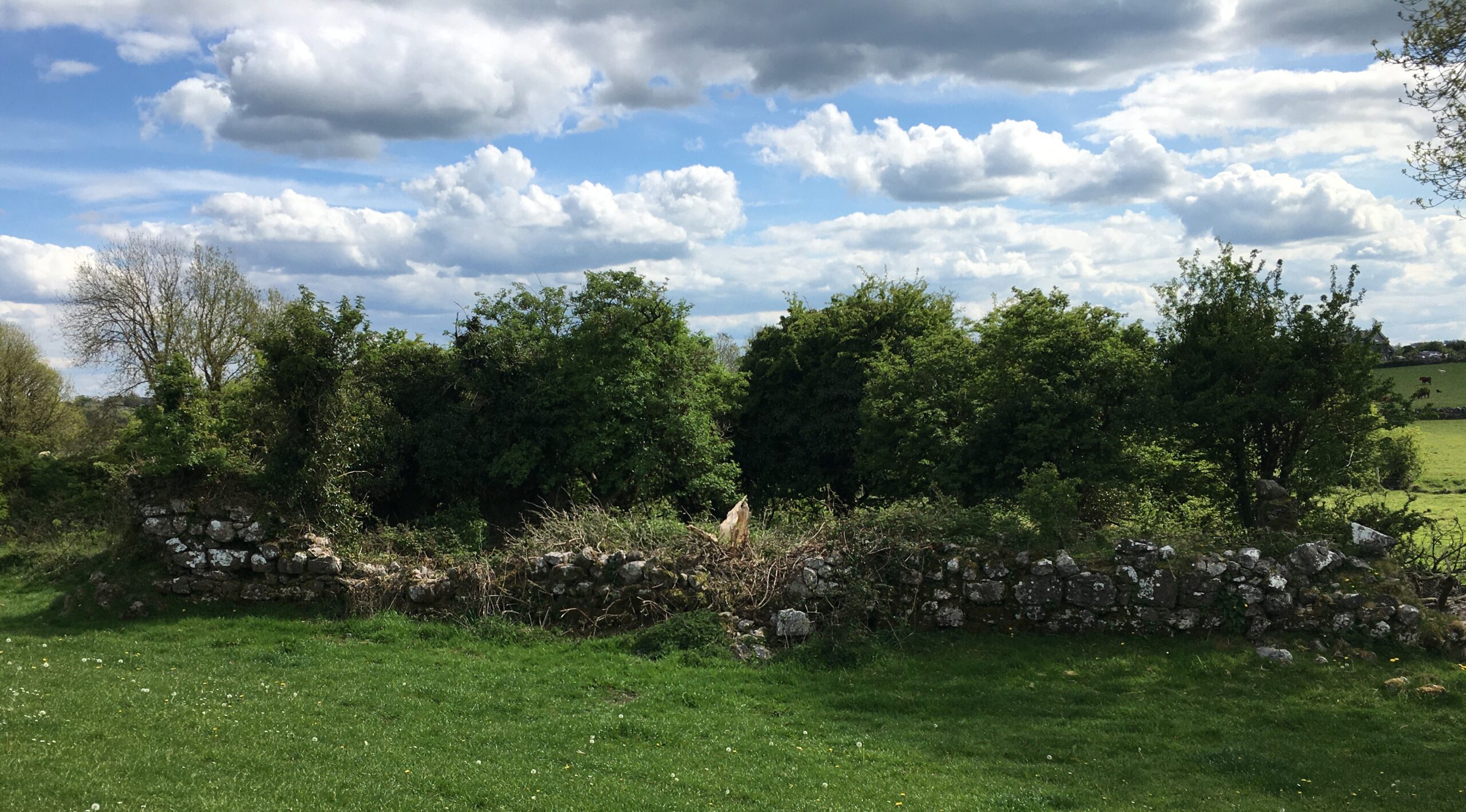
Located towards foot of a S-facing slope, 50m N of the Grange river. A poorly preserved overgrown rectangular church (E-W; L 17.1m, Wth 7.5m), only the corners of which stand to any height above the foundation courses which survive throughout. A later wall has been built upon N wall and E gable. The only architectural features visible are the site of a doorway at W end of S wall, and 2 robbed window opes at mid-point and E end of same wall. The large gap, now blocked, in E gable probably also marks the site of a window. In the CBG (GA044-065002-), which lies immediately to S, some architectural fragments, including part of an arch, have been reused as grave-markers.
2. Class: Children’s burial ground. SMR no. GA044-065002-
Located immediately S of church (GA044-065001-). Irregular area (E-W 44.6m, N-S 12.4m max.) defined along N side by a field wall, and along SE side by traces of a grassed-over stony bank. Numerous haphazardly placed set stones indicate graves, including a number of cut-stone fragments from the adjoining church.
Index:
SMR = Site and monuments record
RMP: = Record of monuments and places
S = South, N = North, E = East, W = West
SW = South West, SE = South East, SSE = South South East, NNE = North North East
CBG = Childrens’ Burial Ground
No Comments
Add a comment about this page